ISSUED: 04:48 PM CDT, Monday, June 23, 2025

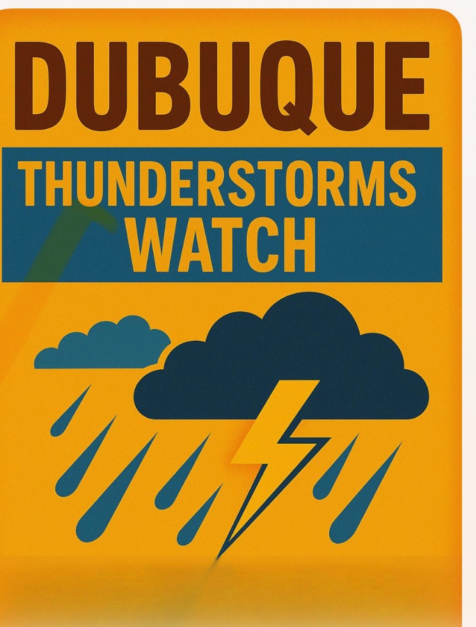
SEVERE THUNDERSTORM Watch
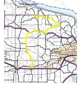
The National Weather Service has issued a Severe Thunderstorm Watch for Dubuque, Iowa, in effect until 10 PM CDT.
HAZARD:
• Winds exceeding 60 mph
• Hail the size of quarters (1 inch)
IMPACT:
• High winds may uproot trees, down power lines, and cause damage to property.
• Hail could inflict minor damage on vehicles and buildings.
• Flash flooding may occur locally due to intense rainfall.
LOCATIONS AFFECTED:
• City of Dubuque and adjacent regions throughout Dubuque County.
ACTION RECOMMENDED:
• Take shelter immediately in a robust building, away from windows.
• Refrain from driving; if you are on the road, pull over during high winds or reduced visibility.
• Stay updated on local weather through NOAA Weather Radio, television, or mobile notifications.
ADDITIONAL INFORMATION:
This storm is advancing northeast at a speed of 30 mph. Residents should stay alert for rapidly evolving weather conditions. Any damage or severe weather reports should be directed to local authorities or the National Weather Service.
NEXT UPDATE:
This bulletin will be refreshed by 5:15 PM CDT or earlier if conditions change significantly.